Add Cities, Highways, Census tracts, ZIP3 codes and other layers to map
This article describes how to add layers to a map.
Related article: Show ZIP codes, counties, or states on map
MapBusinessOnline comes with Custom map template hosting these basic map layers: States, Counties, and ZIP codes. These are default map layers and you can add other layers to a map such as US cities, US highways, Census tracts, 3-digit ZIP codes, Metropolitan Statistical Areas (MSA), City limits, and School Districts. More map layers will be added to MapBusinessOnline in near future including lakes and rivers.
- To add map layers to a map simply click ‘Add map layers’ icon on MapBusinessOnline toolbar.

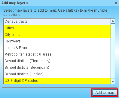
- In ‘Add map layers’ dialog select map layers you are interested in. Hold shift key to select multiple map layers. Click ‘Add to map’ button.
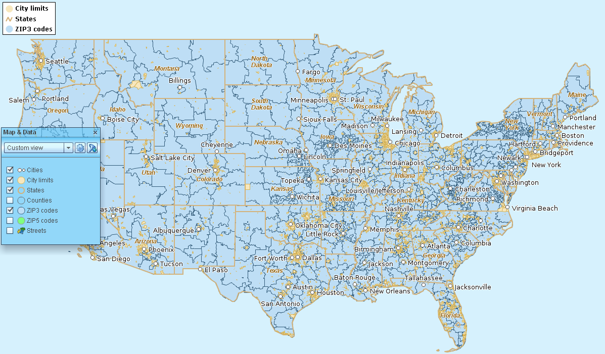
- MapBusinessOnline may need to load map layers and that loading takes some time. Once map layers are loaded they are displayed on your map.
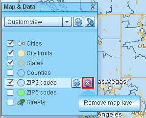
- You can remove map layers you have added. Just go to Map & Data window (if it’s not open click Map & Data vertical button on the left side), move mouse over map layer you want to remove, and click remove button.
- Read this article on how to setup map layer properties, labels, and callouts. Please note that cosmetic layers like cities and highways have limited set of properties.
- Follow this link to see how to color code map layer by business or demographic data.