How to Calculate Driving Distance between ZIP Codes
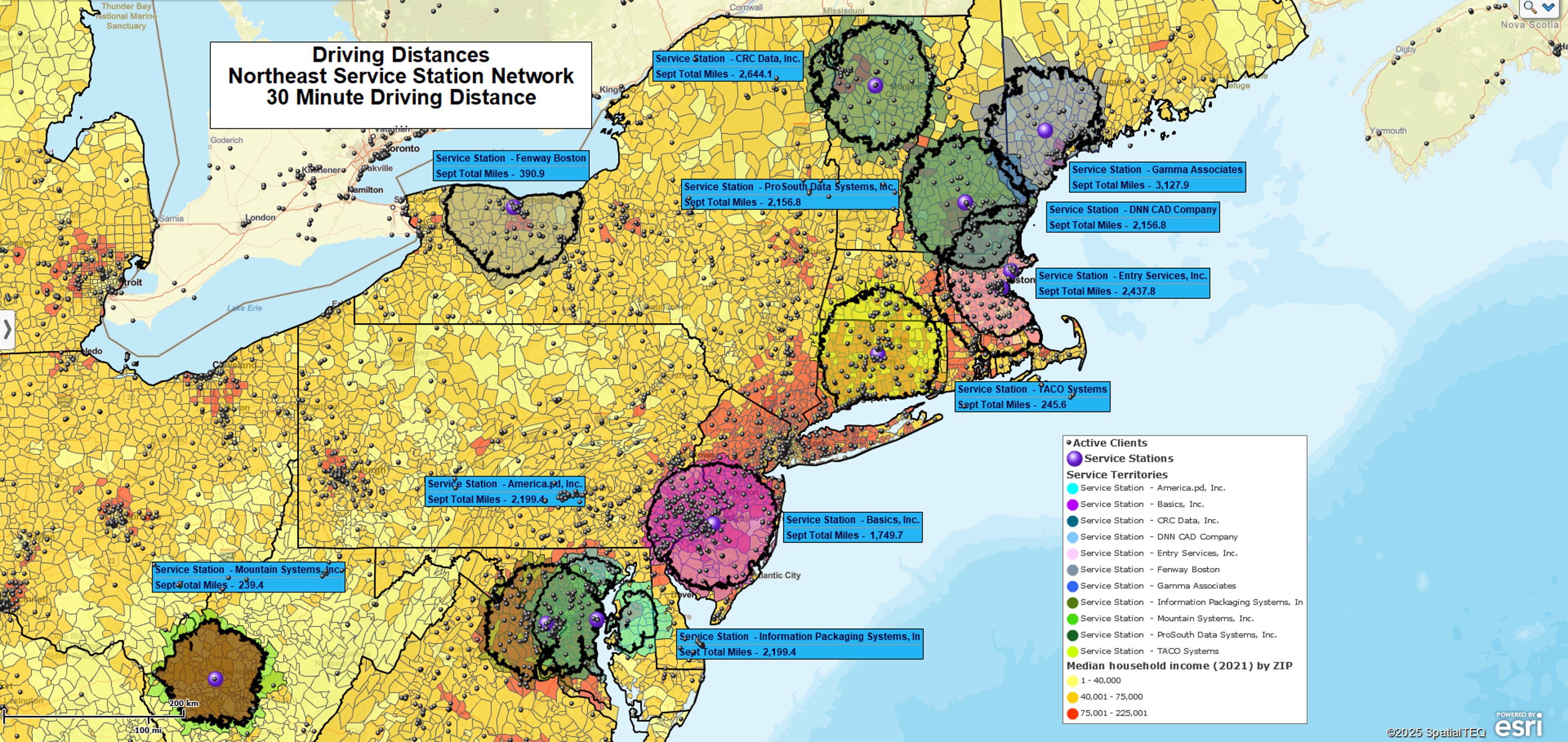
At MapBusinessOnline, our sales teams occasionally fielded customer requests for a ZIP code-to-ZIP Code driving distance or time analysis. A “ZIP-to-ZIP” analysis compares either:
- One list of ZIP codes to another list of ZIP codes or
- A list of ZIP codes to a single ZIP code
as a way to develop an array of all the driving distances between all ZIP codes in both datasets.
If you displayed a ZIP-to-ZIP analysis on a map, it would be an incredibly dense set of routes crisscrossing each other, but the result is usually a list of ZIP codes with distances or times noted for each record set.
ZIP-to-ZIP calculations are helpful for specific use cases in geographic business analysis.
- Companies need to generate rough estimates of future driving and travel costs for cost projections, fuel consumption projections, and expense-related estimates.
- Package delivery companies use ZIP-to-ZIP calculations to develop delivery fees and delivery time estimates across their coverage areas.
- Market analysis applications also exist that require distance and time estimates along a road network tallying how many people are willing to make the trip to a product launch or an advertised sale at a retail store.
- Service tech organizations might use the same analysis to track and analyze service tech calls to a list of customer addresses.
Batch Calculate Distances
At MapBusinessOnline, we refer to ZIP-to-ZIP calculations as Batch Calculation of Distances or Times Across Multiple Centers. The ability to process this complex query is a feature in MapBusinessOnline Pro . When a MapBusinessOnline user imports a ZIP code or a set of ZIP codes into MapBusinessOnline with no associated addresses, the application plots the ZIP points at the centroid or center point of the imported ZIP code(s).
The beauty of MapBusinessOnline Pro is that it enables multiple center point analyses across an entire dataset of imported ZIPs (within reasonable limits). The tool also includes several batch-calculate distance and time operations in its Market Analysis tools:
- Straight Line Distance.
- Driving Time Distance.
- Driving Time.
- Combinations of the Above.
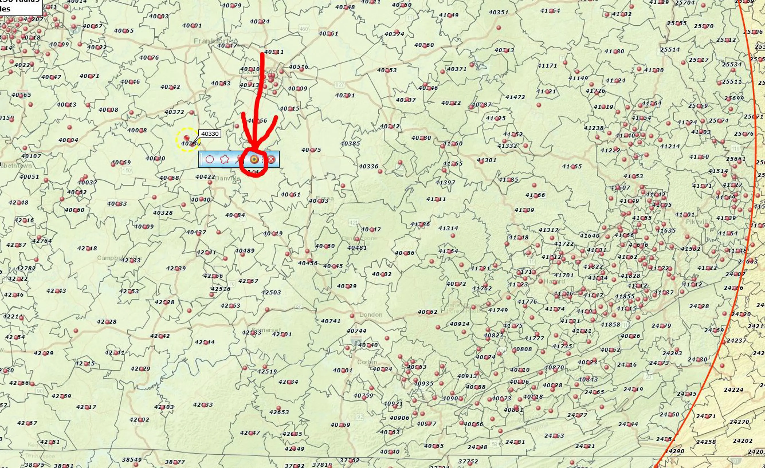
It’s essential to keep the location of the Batch Calculate button in mind as you process a ZIP-to-ZIP analysis. That particular tool is found on the Mini Toolbar associated with a plotted center point in your analysis. See the picture below and read on.
MapBusinessOnline solved the ZIP-to-ZIP problem by inserting an advanced feature in MapBusinessOnline Pro. It is deceptively simple once you become aware of how to do it. If your current subscription is the Standard Plan, you must upgrade to Pro to access Batch Calculate Distance features. Read about pricing plans here.
The Problem and the Solution
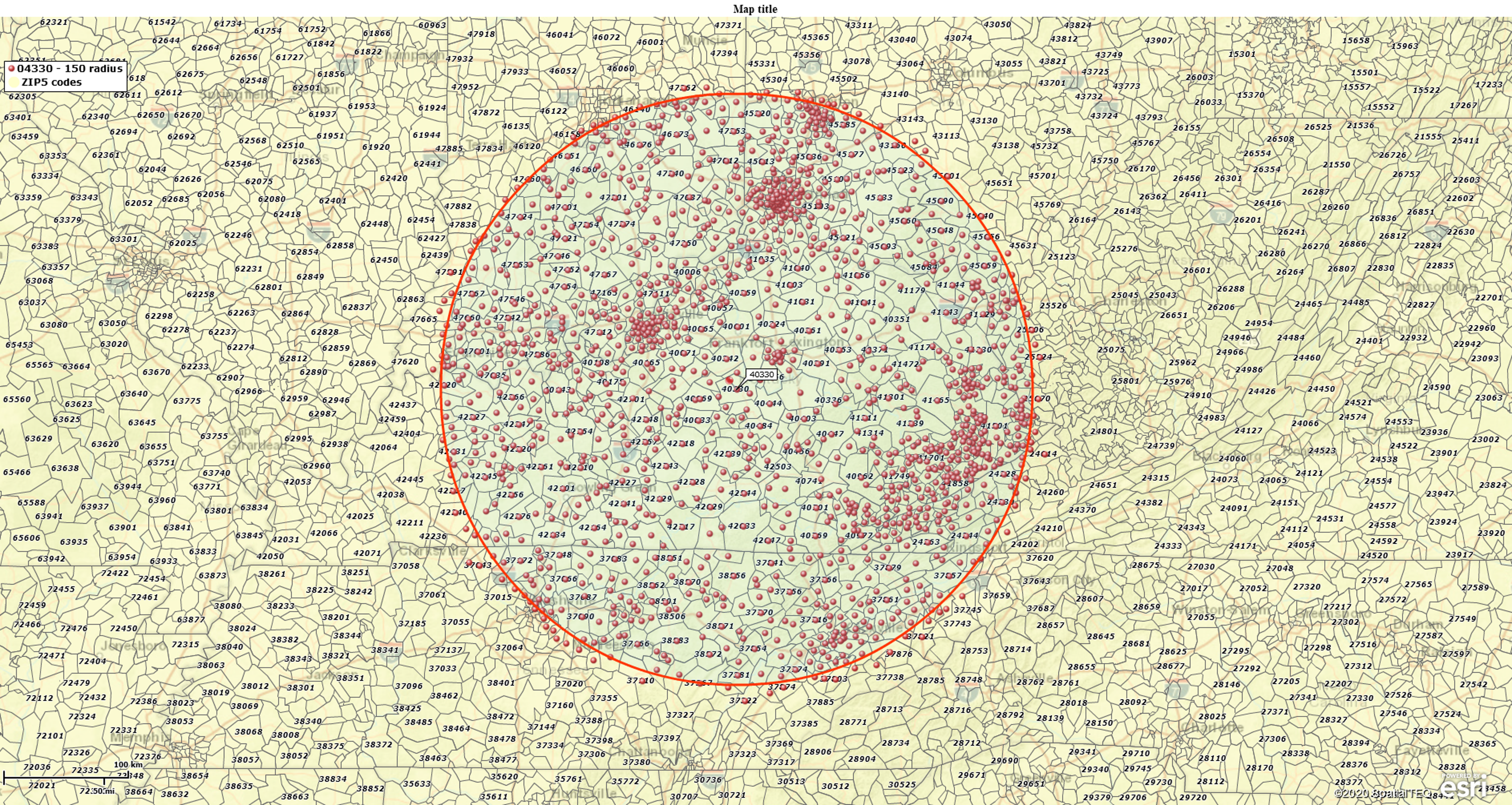
A customer desired to analyze all distances from one central plotted ZIP code point to the outlying list of ZIP codes within a 150-mile radius of the center ZIP.
Here are the steps to achieve this ZIP code-to-ZIP code analysis:
- Using MapBusinessOnline Pro, in the Address Bar at the upper left of your MBO screen, plot the center ZIP code for your analysis.
- At the plotted center point, a mini toolbar now appears. Click the Radius Button on the mini toolbar and Query the circle for all the enclosed ZIP codes.
- Export the ZIP codes from MBO (the far right button on the Data Window Toolbar) and save them to your desktop. The file is exported as a CSV file.
- Click the plotted point toolbar again. Select the Target Icon Button for Market Analysis and Batch Distance Calculation.
- In the Drop Down, choose Drive Distance (note the options listed – Straight Distance, Drive Time, Drive Distance, Combos).
- Plot the Exported and Saved ZIP code file.
- Input a Column Label descriptor like “ZIP” or more descriptive depending on your analysis.
- Process the query.
- Results will be posted to the Data Window for Export.
MapBusinessOnline Pro provides advanced map-based business analysis for land-based organizations, delivery-focused, sales territory-oriented, and travel-intensive. Demographic data layers are available to develop comprehensive market analysis solutions driving sales growth.
Use MapBusinessOnline Standard to generate more basic business maps focused on ZIP code mapping, radius maps, and replacing Microsoft MapPoint. All these features, including access to Business Listings, are available in both Standard and Pro.
MapBusinessOnline Pro provides an advanced set of map-based market analysis tools to help you and your business access the power of location and drive time analysis.