Export ZIP Codes Segmented by Territory

Find All ZIP Codes in Your Sales, Service, Delivery or Franchise Territories

Sales Territory Map by ZIP Code

MapBusinessOnline business mapping software provides an easy-to-use platform for creating and maintaining sales, service, delivery, and franchise territories by ZIP code or alternative base map assignments. Subscribers use ZIP code territory maps to visualize sales, plan and analyze logistics, and to track franchise business development.

MapBusinessOnline makes it easy to export ZIP code territories segmented by territory.

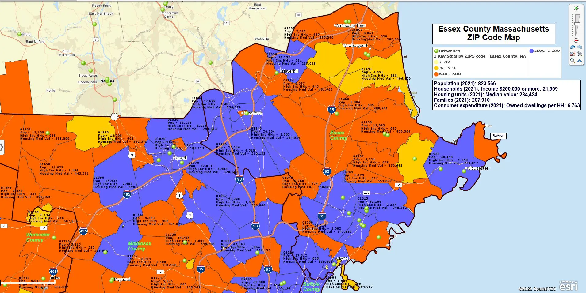
Keep in mind there are multiple ZIP code types, including boundary and point ZIP codes. Point ZIP codes represent significant single drop-off points for mail delivery, such as hospitals, military installations, or assisted living centers.

ZIP Code Mapping is What We Provide

MapBusinessOnline ZIP code-related features include:

  • The ability to import a simple spreadsheet of ZIP codes into the map application for compelling map visualizations. We often refer to these maps as ZIP code maps.
  • The ability to color-code ZIP codes based on imported or demographic data. This process is referred to as 'heat mapping.' (In MapBusinessOnline, 'heat mapping' is also a feature we offer that shows concentrations of location points by numeric values.)
  • Territory mapping by ZIP code alignment. Territory management is a primary solution used by thousands of MapBusinessOnline customers. Territory maps are used by all kinds of industries, including construction businesses, franchise organizations, insurance companies, manufacturing concerns, medical systems, retail chains, service industries, and a host of other firms.
  • MapBusinessOnline Pro's ability to estimate ZIP-to-ZIP drive time or distance. We call this feature Batch Calculate. It can calculate accurate driving time or distance measurements between all points in one or to two datasets.
  • Summarize demographic data by ZIP code or groups of ZIP codes for use within or outside MapBusinessOnline.
  • Search for business listings by ZIP or groups of ZIP codes. These search results can then be color-coded and exported.
  • The use of the ZIP code layer as a map background, color-coded by demographic or imported user data.

Essex County ZIP Code Map

How Can I Export My ZIP Codes Segmented by Territory?

The above subject is a common technical support question from MapBusinessOnline territory mapping users.

By simply exporting the ZIP code layer from the Data Window view, you can easily export all ZIP codes regardless of territory assignment. Select the layer and click the Export button on the far right of the Data Window toolbar. Try it.

Exporting all ZIP codes segmented by territory name is also a very easy-to-accomplish task.

Once you've created territories:

  1. Open the Data Window.
  2. In the Data Window dropdown, select the ZIP5 Code Map Alignment Layer. To be clear, you export ZIP codes by Territory, but you must select the ZIP code layer.
  3. Check all Three Boxes – As you begin the short export process, you will find three checkboxes that you should check off:
    • Add point-only ZIP codes.
    • Export only records assigned by Territory.
    • Segment records by Territory.
  4. Click the Export button on the far right of the Data Window toolbar.
  5. Save your exported file. The file will be exported as a comma-delimited CSV file.

The export process will add the territory name column to your exported spreadsheet for you. As you can see, the check box option also allows the user to include Point ZIP codes, which means you'll be exporting all ZIP codes associated with each Territory.

ZIP code export segmented by territory window

How to Use Exported ZIP Codes?

MapBusinessOnline users export ZIP codes segmented by Territory for multiple reasons:

  • To verify territory coverage areas and make sure there are no gaps.
  • To generate sales reports by Territory, franchise, store, or sales rep.
  • To clarify franchise territory, ZIP code ownership, or accountability.
  • To create a record of assigned sales territory ZIP codes for franchisee reference.
  • To display and track Zone pricing by ZIP code.

Note: Any MapBusinessOnline map layer (City Limits, Counties, Census tracts, and more) can be exported from the Data Window exactly as ZIP codes are exported above.

Further ZIP Code Segmentation

While the Export button from the ZIP code layer is now optimized to segment output by territories, map creators can segment ZIP code, county, or other map layer output by using other data columns.

Use the Choose Columns button to add columns from imported data, the demographic catalog, or other geographic layers into your analysis. Then segment as required and export the resulting spreadsheets to CVS files.

Popular ZIP code and county segmentation themes include:

  • Customer segmentation – Segment groups of customers by area, customer type, sales activity, or by-product interest.
  • Demographic segmentation – Segment areas by demographic categories such as population or median income levels.
  • Calculated Data Columns - Combined columns using Calculated Data Columns in Map and Data. Basically, a formula function by map layer.

Note: For advanced segmentation across multiple location datasets at one time, purchase MapBusinessOnline Pro.

ZIP codes offer tremendous value for business mapping users when viewed as the most popular map layer. These mostly tiny jurisdictions are the geographic building blocks of our collective lives. Use them to organize your business mapping visualizations, and you'll share compelling and informative map projects across your business.